
Home / Platform / Land Centrl
Parcels & zoning

Manage & share
parcel and zoning data.

Land Centrl is your municipality's source of truth for parcel and zoning data. Generate buffer zones around any street or parcel, notify the residents inside them, and track land-use plans through every stage of planning — all on a single GIS-native map.

Illustrative example
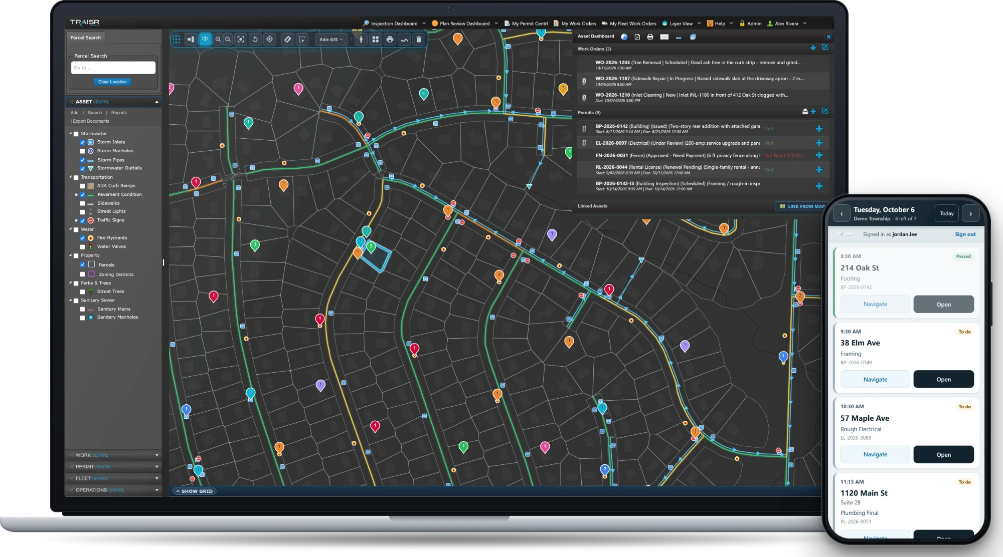
Land Centrl parcel record panel over the municipal parcel map — illustrative example.
Parcels Zoning Sub-units Plot plans Buffer zones County updates
— What it does

Built for the way your planner, clerk, and GIS lead work.

Land Centrl isn't a parcel viewer. It's a record system — where parcel updates, sub-unit linking, zoning changes, and resident notifications all live in one place, with one history.

Display & manage parcel data

Lot lines, owners, assessed value, zoning class — every parcel field your planning office tracks today, plus the ones you'll add tomorrow. Configurable, not fixed.

Link sub-units to parent

Condo units, suites, apartments, accessory dwellings — link them all to the parent parcel. One parcel, many addresses, one record.

Print plot plans

One-click plot plans with the parcel, dimensions, adjacent owners, and your seal. Ready to hand to the homeowner at the counter.

Manage county updates

County re-issues the parcel layer? Land Centrl reconciles the differences and flags subdivisions, mergers, and ownership changes for your review.

Buffer-zone notifications

Draw a buffer around a parcel, street, or zoning amendment. Land Centrl pulls every owner inside it — ready for mailers, hearing notices, or resident updates.

Land development planning

Track applications from sketch plan through preliminary, final, and recording. Each stage stamps the parcel with where it stands today.

— The buffer-zone flow

From a hearing notice to every mailbox in 90 seconds.

Zoning amendment in front of council? Draw the buffer on the map. Land Centrl pulls every owner inside it, formats the addresses, and hands you a CSV ready for your mail-merge — or pushes them straight into Citizen Centrl as a notification.

Define the buffer

Distance in feet or yards. Centered on a parcel, a street segment, an intersection, or a polygon you draw freehand.

Resolve to owners

Every parcel inside the buffer resolves to its current owner-of-record — with mailing address (not just situs), plus contact email and phone where available.

Hand off to your stack

CSV for your mail-merge. Push to Citizen Centrl for in-app notifications. Or email an attached PDF roster to the clerk — whichever your hearing process actually uses.

Auditable trail

Every notification list is timestamped, signed-off, and tied to the planning item that triggered it. Hearing challenge? You have the record.

— Features

Everything your team actually reaches for.

One source of truth for parcels — owners, lot lines, zoning class, sub-units, county updates, buffer-zone math. Wired into the same record system your permits and citizen requests already run on.

01

Sub-unit linking

One parent parcel, many child addresses. Condos, apartments, suites, accessory dwellings — all linked, all searchable, all tied back.

02

Plot plan generator

Print to letter, legal, or tabloid. Includes parcel dimensions, adjacent owners, north arrow, and your municipal seal. One click.

03

Buffer-zone calculator

Configurable distance and shape — radial, road-bounded, or polygon. Built for hearing notices, but useful for any "who lives within X" question.

04

County parcel reconciliation

When the county re-issues their parcel layer, Land Centrl diffs it against yours and flags every change for review — subdivisions, mergers, owner shifts.

05

Land development stages

Sketch → preliminary → final → recording. Each stage tags the parcel with where the project stands, and surfaces conditions of approval.

06

Linked to Permit + Citizen

A parcel record is also a permit history and a citizen-request history. One click from "who owns this" to "what's been built here" to "what residents have asked about."

— Get started

Every parcel, one source of truth.

Walk us through your county layer, your sub-unit spreadsheet, and the zoning amendment you've got on next month's docket. We'll show you how it works with realistic sample data and walk through the buffer-zone flow.

No slides Just the product
Request a personalized demo
Request a demo