Home / Platform / GPS Centrl
Live vehicle tracking

Integrated GPS & GIS
vehicle tracking.

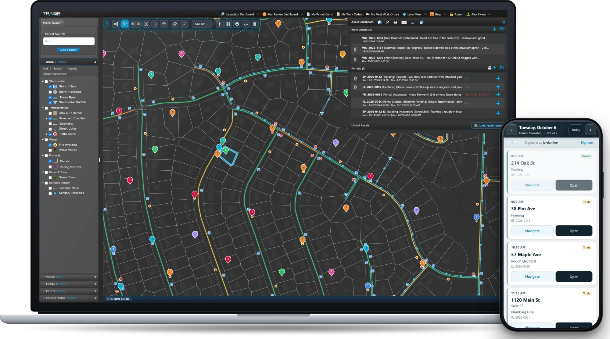
GPS Centrl fuses live GPS feeds with your GIS layer so you can manage emergencies, navigate weather events, track every vehicle, and report back to residents in real time. Faster, smarter decisions during the incident — and a better record for the next one.

Illustrative example
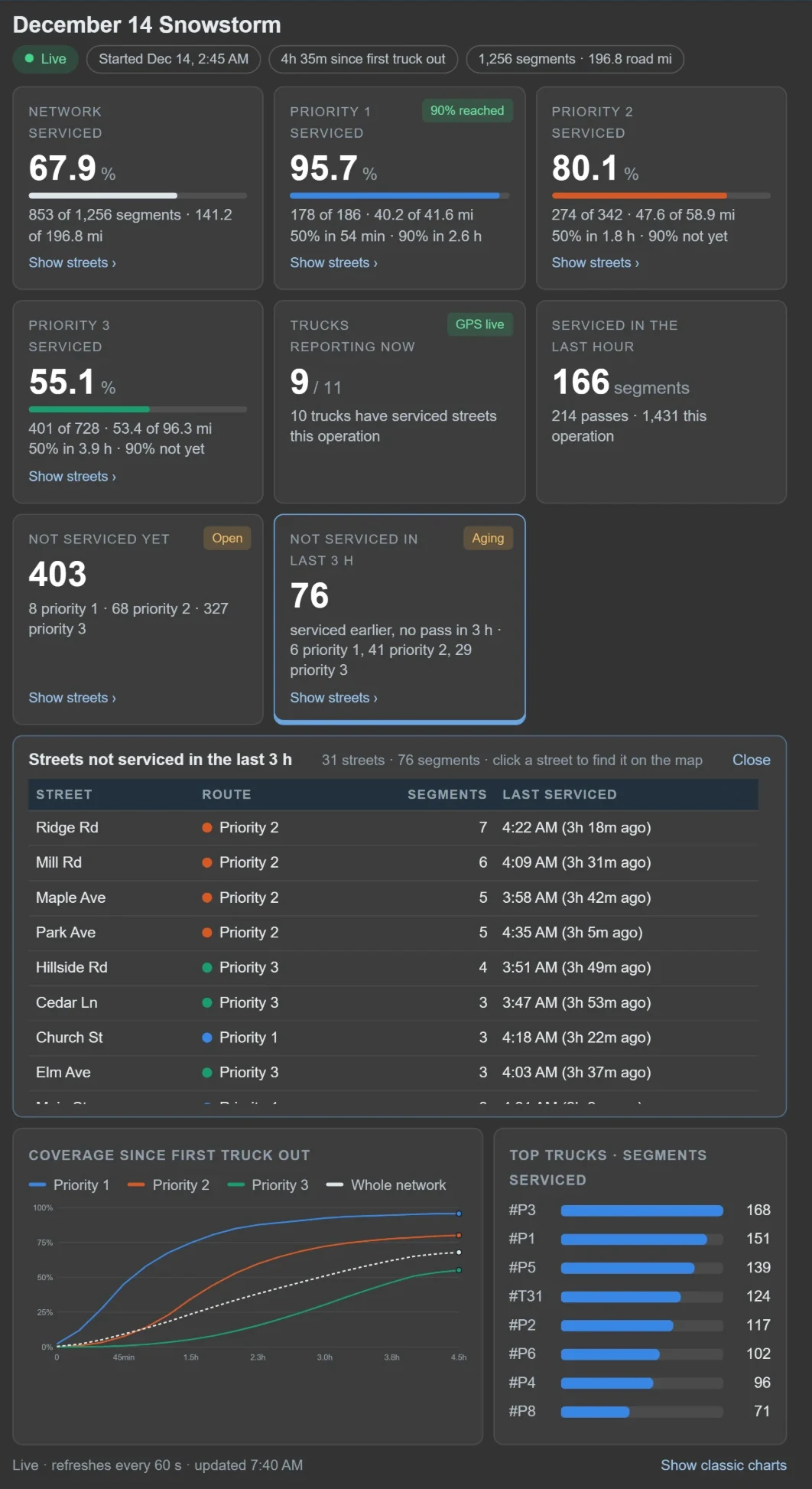
TRAISR GPS Centrl live street-sweeper route map — illustrative example.
Driving history Last-pass color coding Intersection-to-intersection Closest vehicle to address Automatic operation detection Public portal
Capabilities

Live where every truck is. And what it's doing.

Most vehicle trackers tell you where a truck is. GPS Centrl tells you whether it's actively plowing, salting, mowing, or sweeping — and lets the residents on that street see for themselves.

Sensor-driven service detection

No driver input needed. The truck tells the system what service is being performed — plow up or down, spreader on, sweeper running.

Color-coded last-pass overlay

Dispatchers and residents see at a glance which streets are fresh vs. stale — green to gold to grey as time since the last pass climbs.

Driving history & replay

Every truck's path, replayable. Pick a date and watch the day unfold — speeds, stops, route deviations, all of it.

Closest vehicle to address

Type an address and see the nearest vehicles — not bird-flight distance but actual road proximity. Critical for emergencies and multi-vehicle response.

Public portal

Embedded on your municipal site. Residents watch the plow turn onto their street themselves.

— What it knows the truck is doing

Six services. Automatically detected.

GPS Centrl reads sensor signals from the truck — plow up or down, spreader engaged, sweeper running — and tags every street segment with the actual service performed. No driver tapping a button. No data entry.

Brining & salting

Spreader engagement + flow rate. Reports total tonnage by storm, by street, by route.

Plowing

Blade-down sensor logged. Color-coded passes for dispatchers and residents.

Leaf collection

PTO engagement on the vac. Maps coverage block by block — useful for the residents who always call "when are you coming?"

Roadside mowing

Boom engagement detected; ROW coverage logged for the township's mowing-cycle compliance.

Street sweeping

Brush-down sensor. Track which routes hit on which cycle — useful for MS4 reporting and parking-restriction enforcement.

Custom services

Have a service we haven't named? Define your own sensor + label. The system tracks it the same way.

— Get started

Put every truck on the same map.

Walk us through your fleet, your sensors, and the storm response your residents actually expect. We'll show you live tracking and walk through the public portal.

No slides Just the product
Request a personalized demo
Request a demo